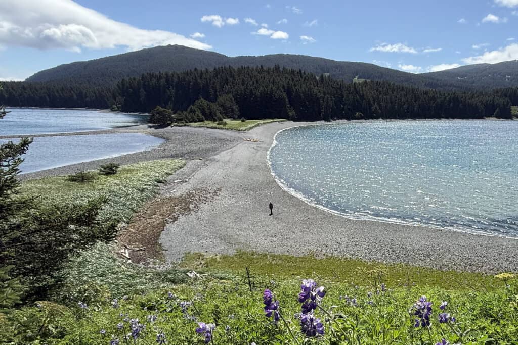
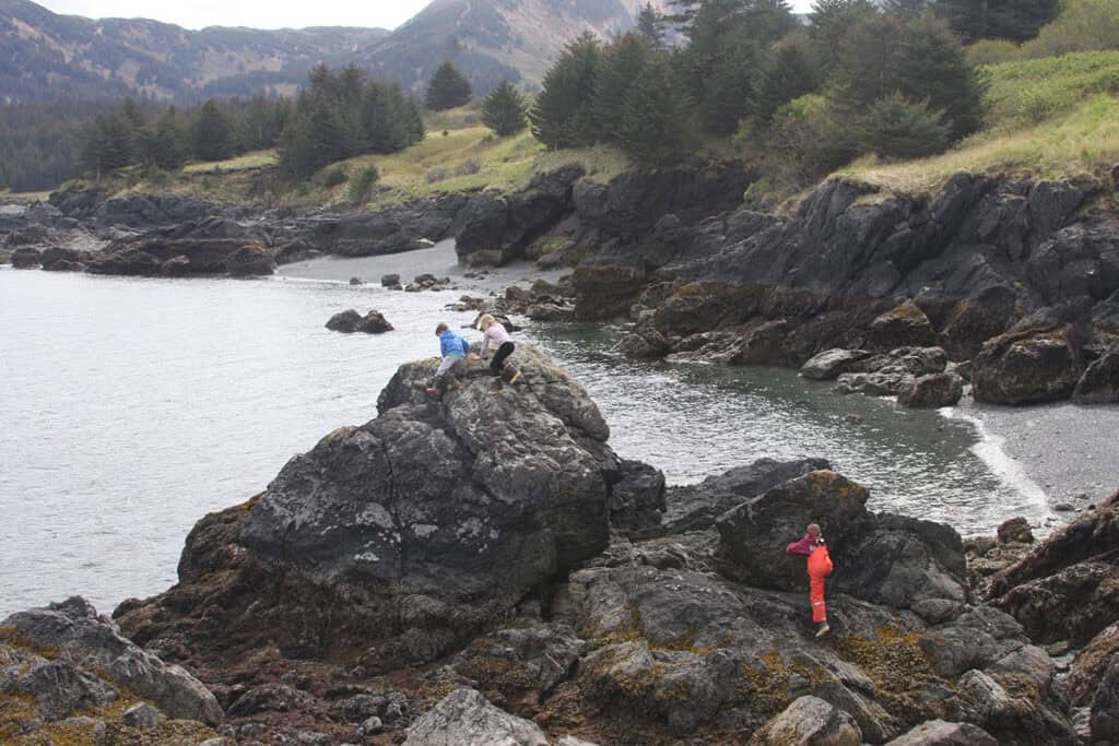
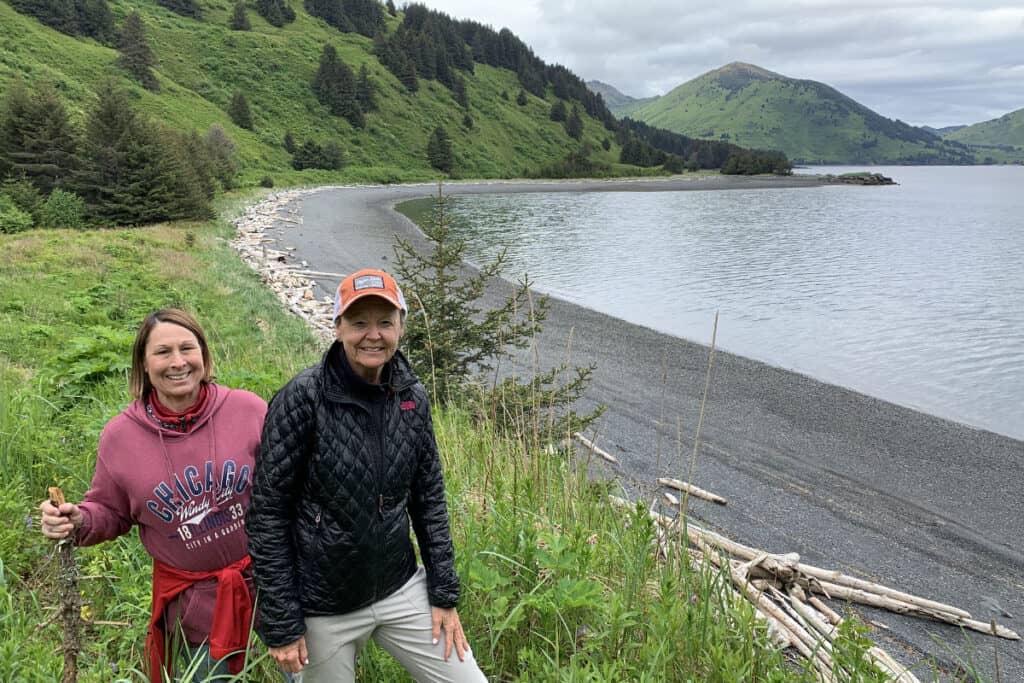
Remote Beaches of Raspberry Island

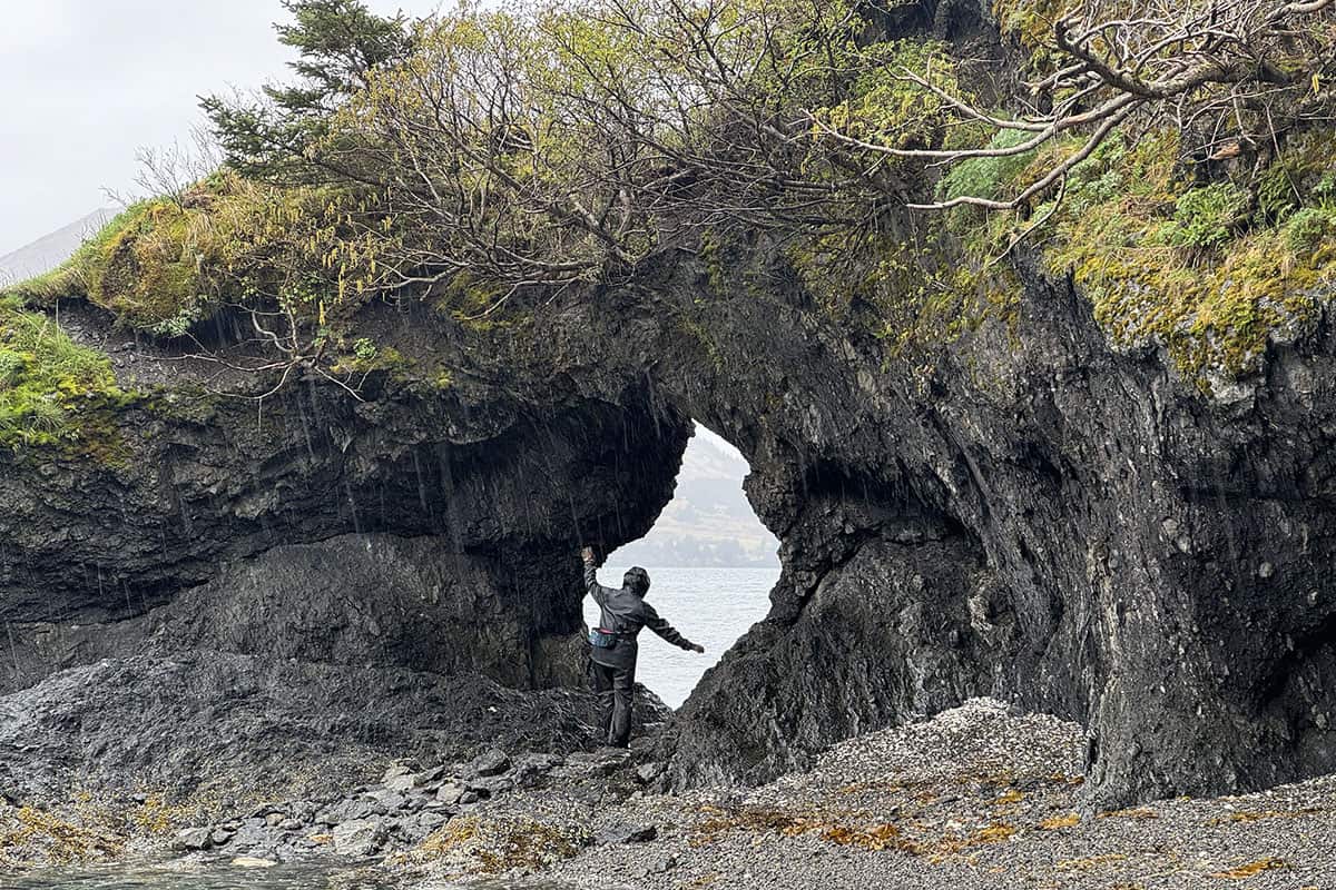
and the greater Kodiak Island Archipelago are shaped by powerful tides and constant Pacific influence. Shale beaches, cobble coves, and narrow sand pockets emerge and recede with the water’s movement, offering access only by boat or kayak.
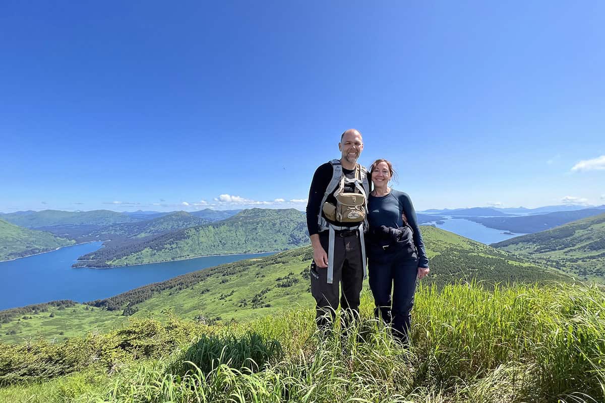
To the northwest, the view stretches beyond Raspberry Strait across Shelikof Strait toward the snow-covered peaks of Katmai National Park and Preserve rising on the horizon. To the southeast rest the quiet remains of Port Vida, a 1940s herring cannery whose weathered pilings and structures linger along the shoreline — an understated reminder of an earlier coastal life.
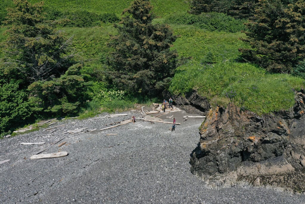
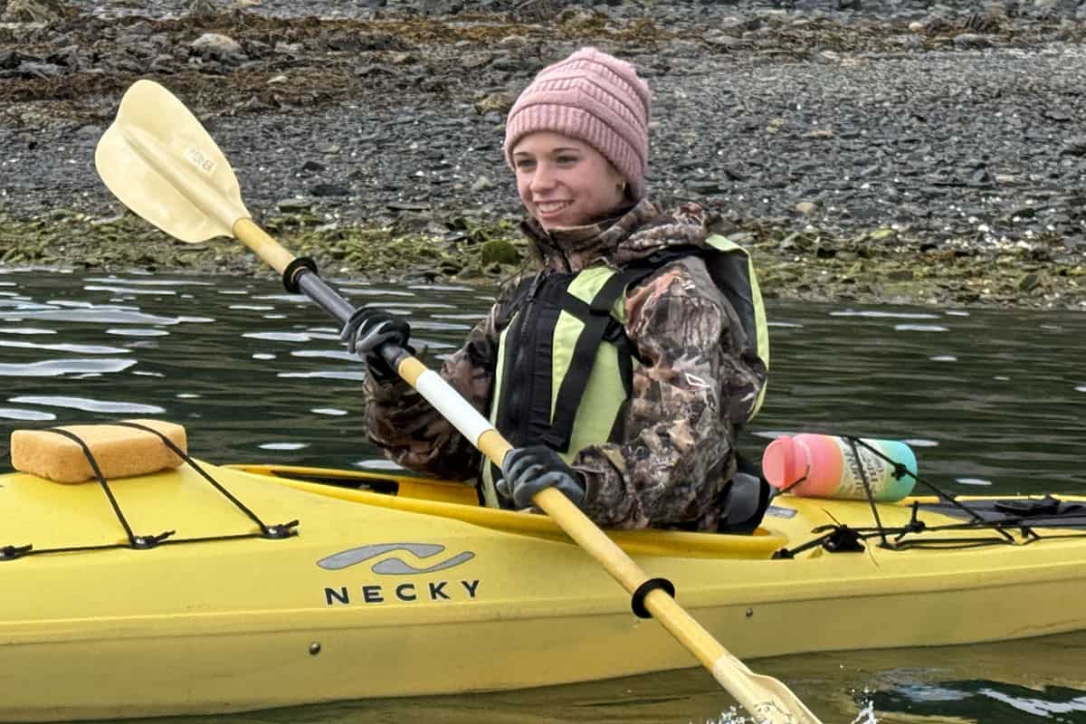
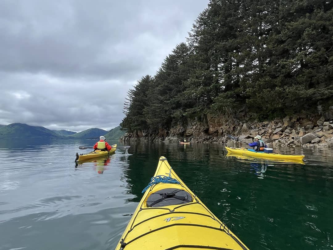
When conditions allow, we may cross the narrow strait to Afognak Island and into Muskomee Bay, where two pink salmon streams enter the head of the inlet. A small island at its center is often claimed by a nesting pair of black oystercatchers, their sharp calls carrying over the water.
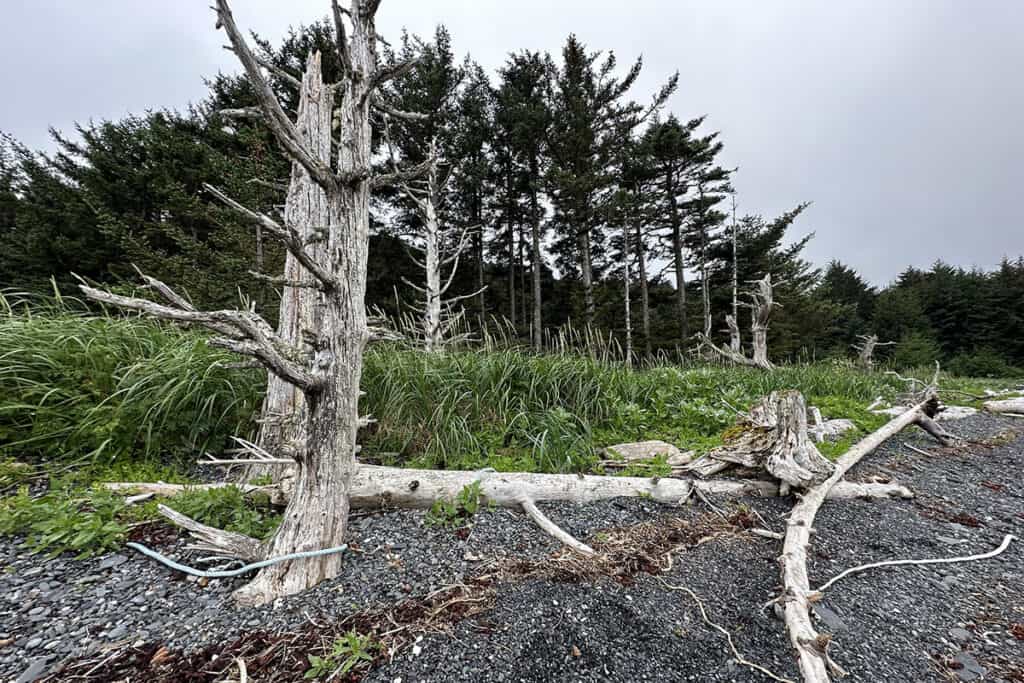
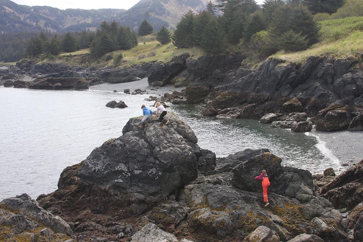
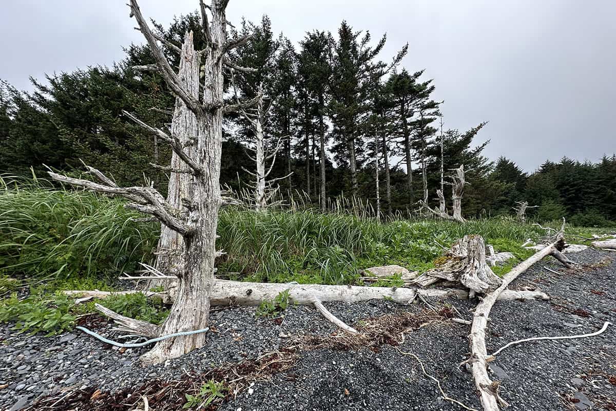
These are not managed or shaped shorelines. They are dynamic, working coasts formed by tide and time. Driftwood gathers along the high-tide line. Tracks from deer, fox, river otter, and brown bear trace the sand. Between slate fragments and polished granite pebbles, guests often find sea-worn shells, smoothed basalt, quartz stones, and other quiet treasures revealed by the tide — simple reminders of the Pacific’s steady work.
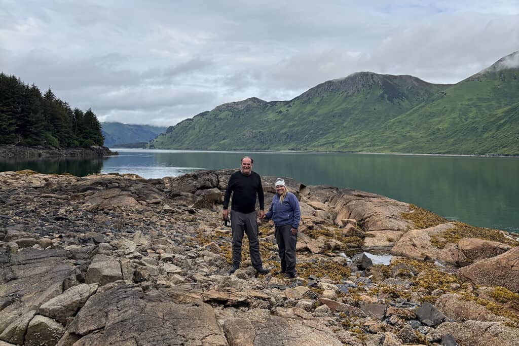
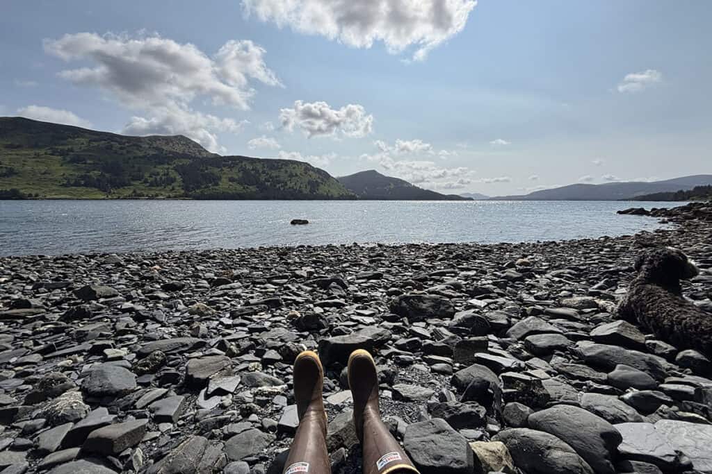
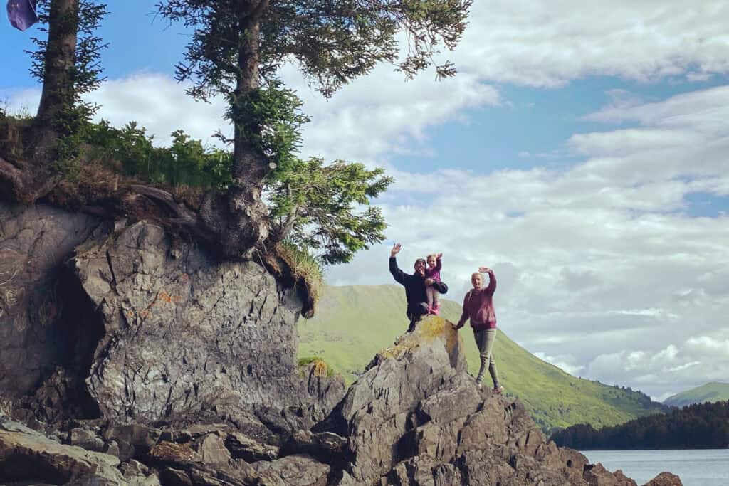
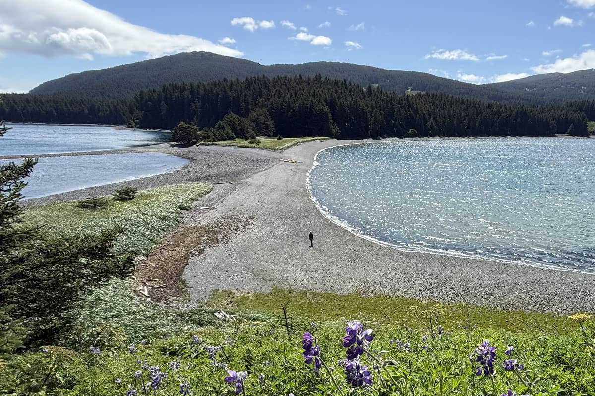
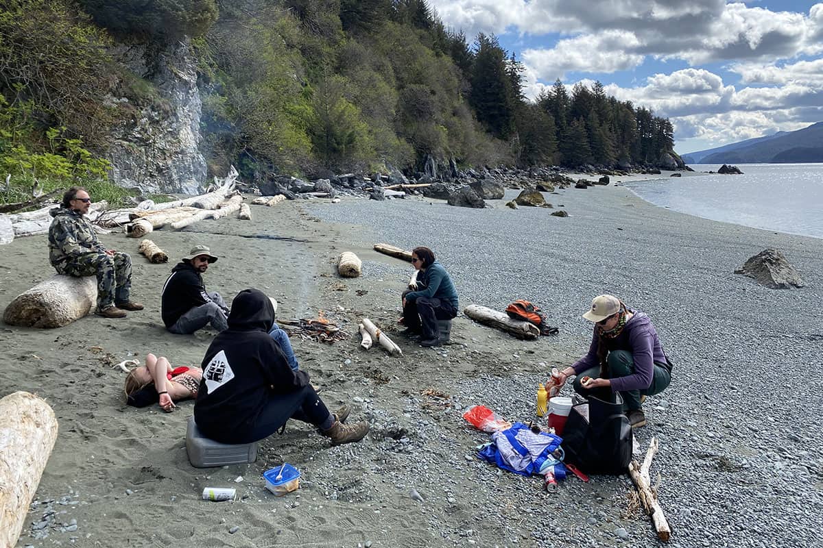
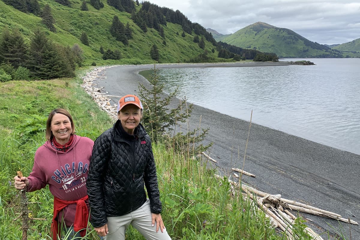
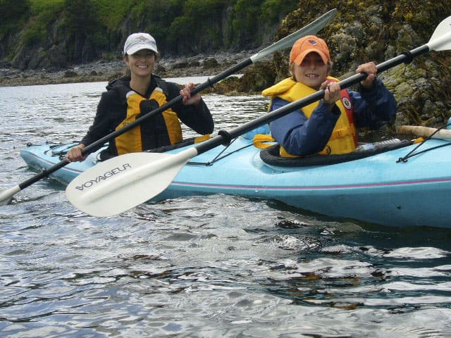
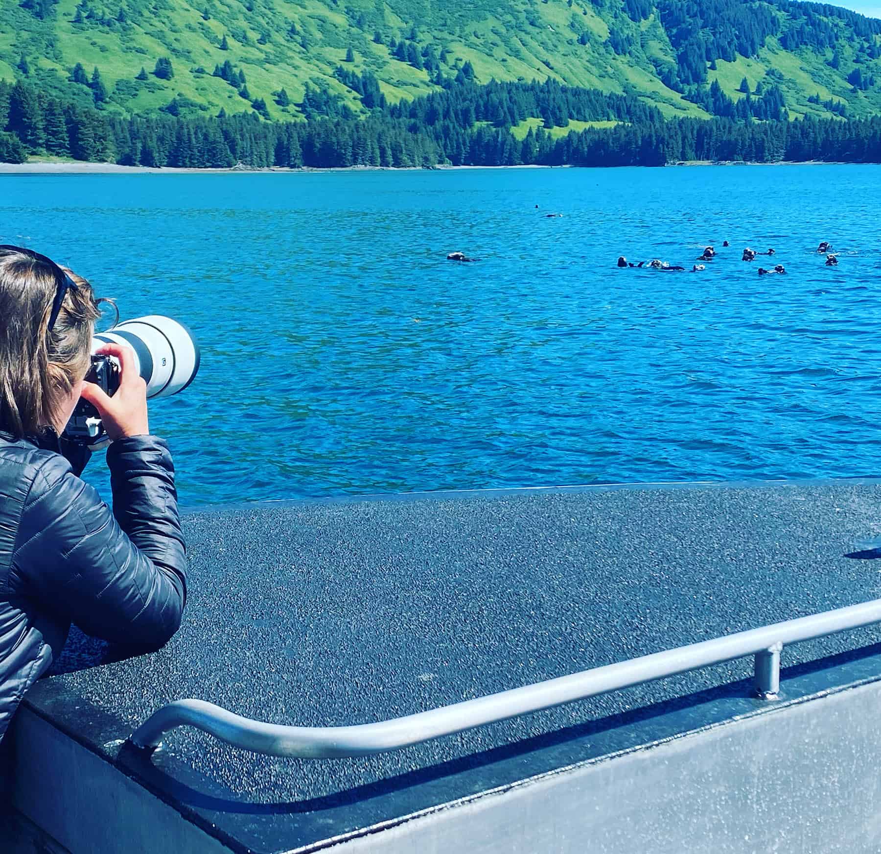
We may land briefly to walk, observe, beachcomb along the tide line, or simply sit in stillness before continuing along the shoreline.